

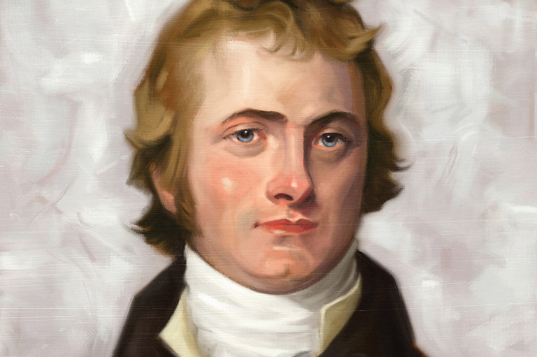
No road behind him. No chart of what lay ahead. In 1807, on Howse Pass, David Thompson looked at country that nobody who draws maps had ever recorded.
He had come up from Rocky Mountain House, through the front ranges, and crossed the spine of the continent into country that existed on no map anyone could buy.
Thompson was a surveyor who would not guess
What set Thompson apart was not courage, though he had it, or endurance, though the ledgers of his mileage strain belief. It was discipline. From his base at Kootenae House he worked the rivers, passes and trading routes of the Columbia watershed with instruments and arithmetic, fixing positions with an accuracy that startled the generations who came after with better tools.
His charts were still earning their keep deep into the twentieth century. A map that holds up that long was made by discipline, not luck.
The country owes a debt to its careful surveyors
History is generous to the loud and forgetful of the meticulous. Every rail line that later threaded a pass, every survey that fixed a townsite, every road allowance in the western half of this country stands somewhere on work like Thompson’s, done cold, hungry and correct the first time.
Alberta is full of names like his, people who did foundational work without an audience and trusted the future to notice. The future has been slow on the file. Thompson spent his last years in poverty in the east, his accomplishment unrecognized in his lifetime, a debt no plaque has fully paid.
He went west first with a sextant and a notebook
Next time a highway carries you west out of Rocky Mountain House toward the mountains, spare a thought for the man who went that way first with a sextant, a notebook and no assurance whatsoever that the far side of the pass held anything but more unknown. He wrote the West down so everyone else could find it.