

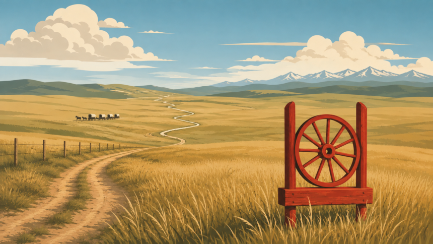
A red and black wagon wheel on a post marks the Old Macleod Trail wherever it crosses the ground between Fort Macleod and Calgary. There are 21 of them, and the last went up in July in Calgary near the Macdonald Bridge, which Museum of the Highwood curator Irene Kerr places around where the trail ended before the railway came.
The road they follow was cut by freight wagons and stagecoaches, and some of their ruts are still in the ground.
Key facts
- The Calgary Heritage Initiative describes the Old Macleod Trail as part of the supply route from Fort Benton, Montana to Fort Calgary and the places in between when southern Alberta was pioneered in the late 1800s.
- The Calgary Heritage Initiative records that volunteers led by Bill Dunn refurbished about 15 existing trail markers dating to 1980 and earlier, added new ones in Okotoks and DeWinton, and found wagon ruts about 130 years old.
- Museum of the Highwood curator Irene Kerr states that 21 markers now run from Fort Macleod to Calgary, each a red and black wagon wheel, with the last erected in July near the Macdonald Bridge in Calgary.
- Museum of the Highwood curator Irene Kerr credits historian Bill Dunn with spearheading the marker project from the 1990s, with the museum’s ongoing support.
The Old Macleod Trail was a Montana supply line before it was an Alberta road
The Calgary Heritage Initiative places the trail inside the wider supply route that ran from Fort Benton, Montana to Fort Calgary. A local history account of the markers puts the whole run at about 300 miles and describes it as the only line of communication with the outside world before railways and telegraphs. Freight wagons ran in summer only, stagecoaches ran year round, and the full trip from Fort Benton took more than a month. The last leg, from Okotoks to Calgary, took one day by coach or one to two days for a bull team.
That same account says the trail fell into disuse after the railway reached Okotoks in 1892.
Volunteers marked the route one wheel at a time
Wagon wheel markers already stood along the route in 1980 and earlier, and the Calgary Heritage Initiative describes volunteers refurbishing about 15 of them. Bill Dunn began leading the project in the 1990s after meeting George Sorkilmo at McLaughlin Meadows in High River, where the first wheel marker stood, according to Museum of the Highwood curator Irene Kerr. New wheels followed in Okotoks and DeWinton. More recently QR codes were added to each one, so a visitor can scan a wheel and read the story of the trail.
The last wheel stands where the trail met Calgary
The final marker, the 21st, went up in July near the Macdonald Bridge in Calgary. Volunteers placed one post at a time over years, and the result is a line of wheels across southern Alberta that follows a road most drivers on Highway 2 have never heard of.
Out in the grass along the route the wagon ruts are still in the ground, and a red and black wheel stands near them.
Updated October 7, 2026. Corrected the trail’s travel times (the Okotoks to Calgary leg took one to two days by bull team, not the whole route), its dates of use, and removed an unsourced claim about Guy Weadick.
Related from Alberta Tribune: Coleman’s Police Barracks Still Stands Where Constable Lawson Fell in 1922 · Fort Dunvegan’s 1877 Factor’s House Still Stands on the Peace River · Calgary’s Black Squirrels Have A Story And No Paperwork