

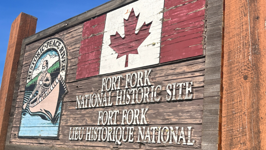
Fort Fork sat on a quiet stretch of the Peace River in 1792 and 1793. There is almost nothing to look at there today. No reconstruction. No standing wall. A semi-circle of one hundred metres around a Historic Sites and Monuments Board cairn, and a view of the river. Most Albertans drive past the area without knowing it exists. That is a small tragedy, because the first European overland crossing of North America started right there.
The 1792 post almost nobody visits
The North West Company built Fort Fork on the east bank of the Peace River, around ten kilometres above the mouth of the Smoky. It was the company’s uppermost post on the Peace at the time. Period journals describe it as well kept, with a working garden. Garden talk in fur trade records is code for a stable, self-sufficient operation. This was not a temporary lean-to. It was a small economic node in the company’s far western system.
Built fast, garden in the back
The Peace was the supply spine for the entire western trade network. Whoever held the upper Peace held access to the routes through the Rockies. The North West Company knew this. Fort Fork was their forward base for understanding what lay west of the post and whether the company could push a brigade through to the Pacific.
Alexander Mackenzie’s winter at Fort Fork
Mackenzie arrived at Fort Fork in October 1792 with a small party. He wintered at the post. He used the time to talk to local Indigenous travellers about the country west, copy travel routes onto his own charts, and provision the expedition that would leave in spring. The winter at Fort Fork is the part of the story that almost nobody covers. It is also the part that did most of the work. Mackenzie did not stumble across the Rockies. He sat in an Alberta trading post for six months learning the country from people who already knew it.
Reaching Bella Coola in July 1793
He left Fort Fork in early May 1793. He followed the Peace upstream, found the Parsnip River, took the rough portage and Indigenous guides west across the divide, ran the upper Fraser, switched to overland routes, and reached salt water at Bella Coola on July 22, 1793. First recorded European crossing of North America by land north of Mexico. The expedition started from an Alberta fur post.
The site was designated a National Historic Site of Canada on May 16, 1928, and is listed on the Canadian Register of Historic Places under ID 17661.
Why the Peace remains Alberta’s first long-haul corridor
Here is the buff opinion. Modern Alberta talks about east-west corridors as if it is a new argument. It is one of the oldest arguments in the country. The Peace River was carrying value across the western half of the continent more than two hundred years ago. The brigades coming out of Fort Fork were running the original Alberta export route. Replace canoe with rail car, then truck, then pipeline, and the geography keeps repeating the same lesson. The Peace is a corridor. Always has been. People who pretend otherwise are arguing with topography.
The cairn at Fort Fork is worth the drive. There is no museum, no cafe, no parking lot. Just a viewpoint, the river, and the knowledge that a continental story started here.
Listed on the registry. Fort Fork appears on the Canadian Register of Historic Places as Site ID 17661 and was designated a National Historic Site of Canada on May 16, 1928.
Related reading from the series. Fort Chipewyan and Alberta’s oldest commercial empire. Rocky Mountain House and the maps that built the West.